
Lanes and Other Remains

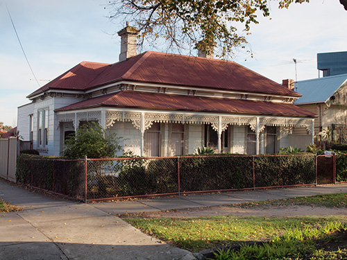
Most of us can tell an old building from a new one and with a smattering of experience might even be able to say roughly when it was built. However, there is often a wealth of minor details and other clues to the past that could be hidden to us, although in full view.
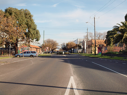
For example, the very streets themselves in this early part of Footscray were planned in the same way as the streets of metropolitan Melbourne, as laid out by Hoddle in the 1850s.
Consequently, the nine streets in the first subdivision of Footscray have the same measurements as the streets in the centre of Melbourne. Moreland Street is the same width as Collins Street. The street plan of early Footscray has the same dimensions as the street plan of Melbourne. Each block is 5 chains x 2 1/2 chains and the streets are 99 feet wide. So Footscray’s street layout is part of that first ‘vision’ of the greater Melbourne.
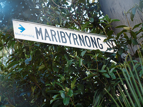
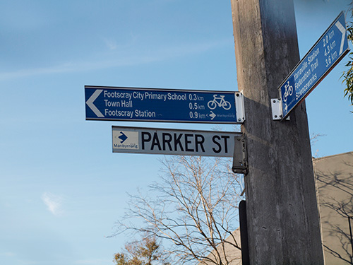
The first street plan in Footscray included Maribyrnong, Morland (later Moreland), Whitehall, Cowper and Hyde Streets running north and South. With Wingfield, Bunbury, Napier and Parker streets running east and west.
Within the grid many existing features indicate a more complex and intricate site use in the past, including residential, manufacturing and primary extractive industry, on allotments smaller than those currently evident. There was also a more complex system of service and access lanes in this area.
The lane way up to Henderson’s House is part of a more complex street system which provided rights of way to small allotments and service access to various parts of the area. There are several such lanes in this area.
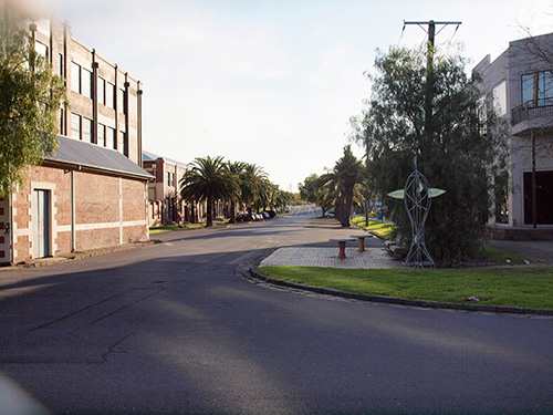
The peppercorns, canary island palms and other exotic trees in grimes Reserve are up to 80 years old and reflect garden attitudes and practices of the 19th Century.
A casual stroll will reveal many odd constructions and combinations in this small area that could well be clues to past use. They may even be restorable in such a way to re-capture some sense of the era and activities they belong to.
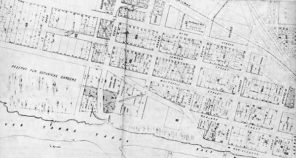
Hoddle Grid Streets:
There were only nine (9) defined streets in the first land division
Maribyrnong Street
Moreland Street
Whitehall Street
Cowper Street
Hyde Street…………….running north and south
With
Wingfield Street
Bunbury Street
Napier Street
Parker Street………….dividing
For further information on the story of Hoddle see
http://www.theage.com.au/articles/2004/06/04/1086203622126.html?from=storyrhs